
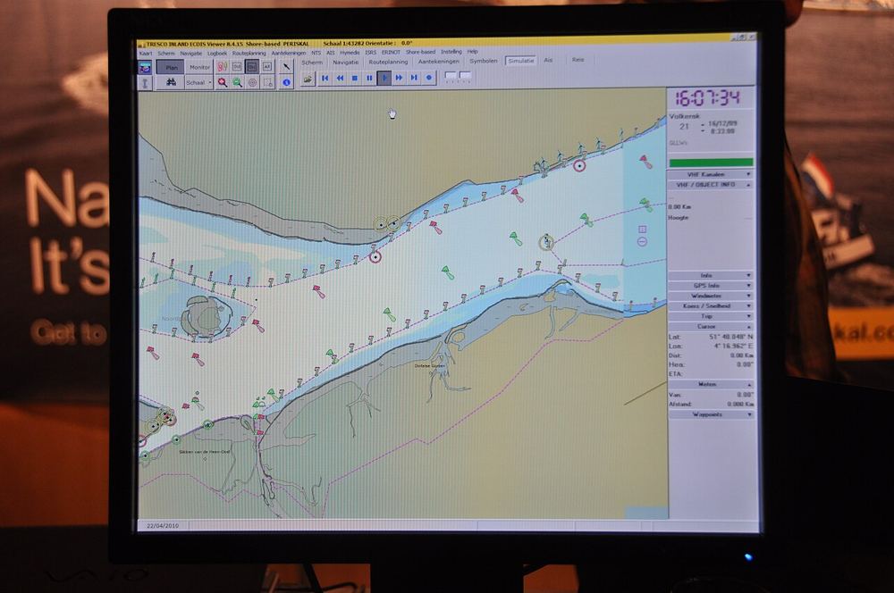
ECDIS (Electronic Chart Display and Information System) displays electronic navigational charts together with position, heading and other sensor data. Used properly, it makes passage planning and monitoring more efficient. Used carelessly, it can create a false sense of security.
Key points to remember
- Type-specific and generic training is required. Know your ship's equipment.
- Charts must be official and up to date. Apply updates on schedule and check they were installed.
- Set safety parameters correctly: safety contour, safety depth, shallow contour and deep contour. Wrong values can hide dangers.
- Alarms are there for a reason. Do not silence or ignore them without understanding them.
- Cross-check with radar, visual bearings and other position-fixing methods.
Passage planning
Prepare the route with waypoints, cross-track limits and clear no-go areas. Then check the route with the Master before departure.
Common mistakes
- Trusting a single source of position.
- Not noticing the display scale or chart limits.
- Ignoring look-out because "the ECDIS shows clear".
ECDIS is a tool, not the officer. Combine it with good seamanship and a strong look-out.