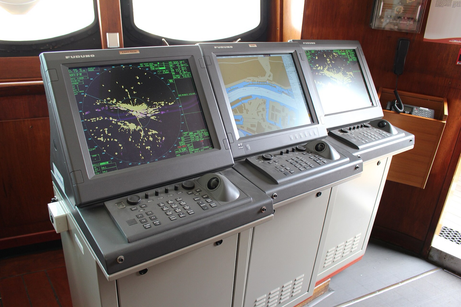
OpenCPN (Open Chart Plotter Navigator) is free, open-source chart plotting and navigation software. It is developed by a volunteer community and runs on Windows, macOS, Linux and Android. For second officer candidates it is one of the easiest ways to practise navigation and learn passage planning.
Important: OpenCPN is not a type-approved ECDIS. It cannot be used as the primary means of navigation on SOLAS merchant ships, which require a type-approved ECDIS or up-to-date official paper charts.
What does it do?
- Chart display: shows vector (S-57 ENC) and raster (BSB/KAP) nautical charts.
- Live GPS position: with a GPS connected it shows position, course and speed on the chart (NMEA data).
- AIS: with an AIS receiver it shows nearby ships and closest-approach (CPA/TCPA) alarms.
- Route planning: waypoints, routes, distance and ETA calculations.
- Plug-ins: weather (GRIB), dashboard, tides and currents and more.
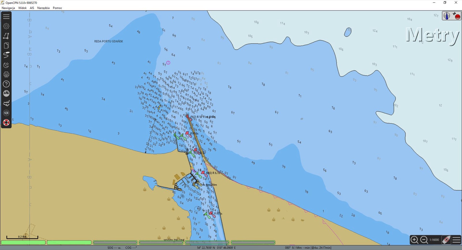 Image: Wbartoszy / Wikimedia Commons, CC BY-SA 4.0
How to download and install
- Go to the official download page: Download OpenCPN
- Download and install the version for your system (Windows, macOS, Linux or Android).
- On first start, add your chart folder under Options → Charts → Chart Files.
- To use a GPS, set it up under Options → Connections.
Where to get charts
OpenCPN comes without charts. Legal options:
- Free official charts: some hydrographic offices publish ENCs free of charge. The best known are the US NOAA ENCs, ideal for practice and training.
- OpenSeaMap: a community-made open nautical chart layer: openseamap.org
- Affordable licensed charts: official OpenCPN-compatible charts for many regions are sold via o-charts.org.
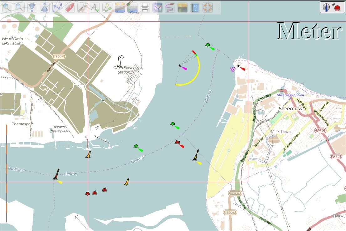 Image: Team OpenSeaMap / Wikimedia Commons, CC BY-SA 3.0
About CM93 charts
OpenCPN can open charts in CM93 format, and seafarers often talk about them. What you need to know:
- CM93 is a licensed chart database owned by C-MAP; it is not open source.
- It has not been updated since around 2010. Buoyage, depths, port layouts and traffic separation schemes may have changed.
- Copies circulating online are unlicensed. Never use them for navigation.
For practice and training, prefer up-to-date, legal free charts such as NOAA's.
Study tips for second officer candidates
- Pick a departure and arrival port on a NOAA chart and prepare a passage plan: waypoints, safe passing distances and ETA.
- While studying COLREG, watch encounter situations with AIS simulation or recorded AIS data.
- Practise chart reading by looking at chart symbols (INT 1) in the program.
- If you will take ECDIS training, warm up here on the basics: layers, safety contour, alarms.
Conclusion
OpenCPN is a powerful free tool for students, cadets, new officers and sailors. Used with correct, legal charts, it is one of the easiest ways to build navigation skills. For open positions, see the second officer jobs on Faroys.
Sources
- OpenCPN official download page: opencpn.org
- NOAA electronic navigational charts: charts.noaa.gov
- OpenSeaMap: openseamap.org
Full series: 2nd Officer Guide