To be rescued you first have to be found. These devices tell the world where your ship or survival craft is.
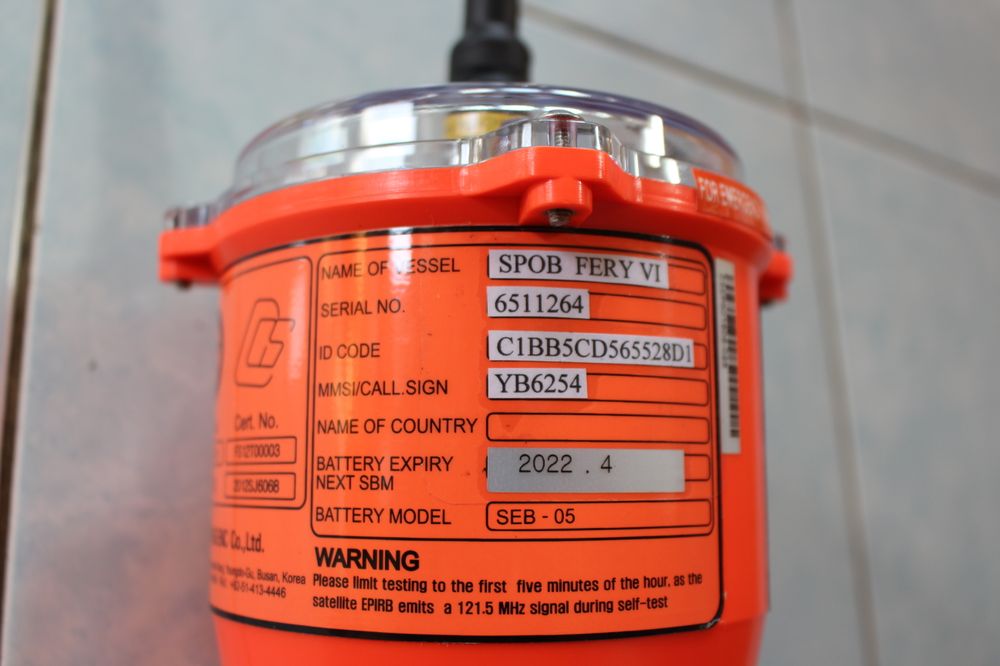 Image: Marwan Mohamad / Wikimedia Commons, CC BY-SA 4.0
EPIRB
Transmits the ship's identity and position to rescue centres via COSPAS-SARSAT satellites on 406 MHz. Usually mounted outside the bridge with its own HRU so it floats free. Battery and HRU dates are on the label.
SART / AIS-SART
A search-and-rescue transponder taken into the lifeboat or raft. A radar SART shows as a line of 12 dots on nearby ships' X-band radar; an AIS-SART shows its position on AIS displays.
Pyrotechnic Signals
Rocket parachute flares (seen from far), hand flares (pinpoint position at close range) and orange smoke signals (daytime, for aircraft). Use them only when rescuers are within sight.
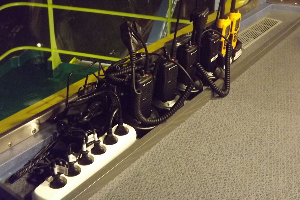 Image: LPfi / Wikimedia Commons, CC BY-SA 3.0
Portable GMDSS VHF Radios
Waterproof handheld radios for survival craft; Channel 16 is the distress and calling channel. Kept charged on the bridge with sealed spare batteries. The muster list says who takes which radio when abandoning ship.
On your next bridge visit, check the location and battery dates of the EPIRB and SART with the officer of the watch.
This post is part of the Emergency Equipment Onboard series. Full series: /blog/seri/emergency-equipment-onboard
Related reading: Emergency Drills That Actually Work